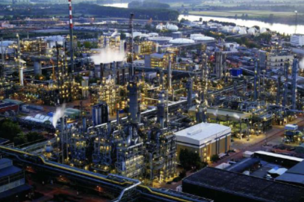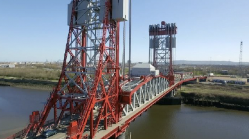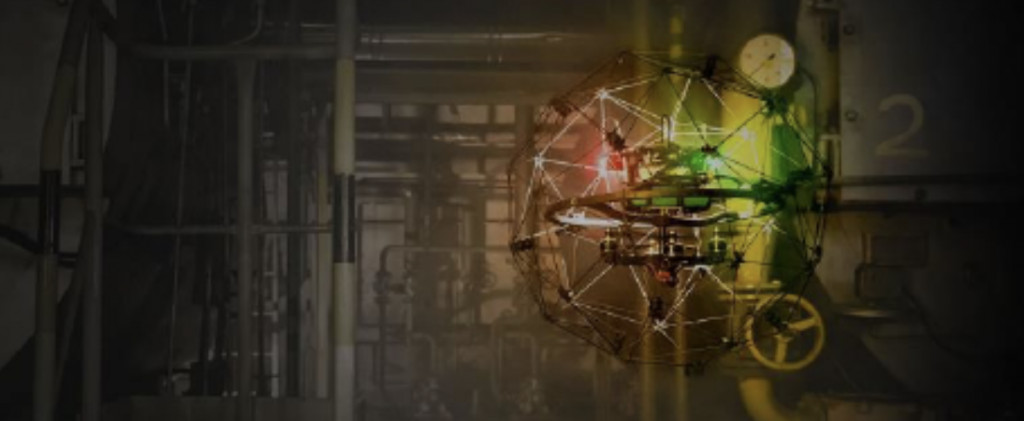
We use fixed wing and multirotor Drones / UAVs to acquire high resolution aerial images. This imagery is processed using advanced photogrammetry software to generate orthophotos, digital elevation models and panoramic images of a site.
This type of imagery is commonly used for site design, health and safety inductions, evacuation plans, tendering information and as-built photography. All of this can be presented in a web based 360 degree virtual tour.